Geological map of the Pyrenees - PDF
37,00 €
Geological map of the Pyrenees - PDF
Scale: 1:400,000
Dimensions: 151 x 91.5 cm
BRGM - IGME 2008
Map published together with the Quaternary Geological Map of the Pyrenees at the same scale
Scanned version in high resolution .pdf format, sent by download link.
Availability: In stock
Description
Geological map of the Pyrenees - PDF
Note: This map is subject to a licence agreement.
This map is also available in digital .pdf format in our catalogue.
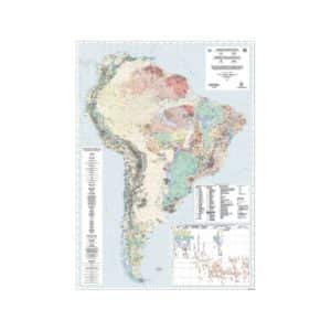
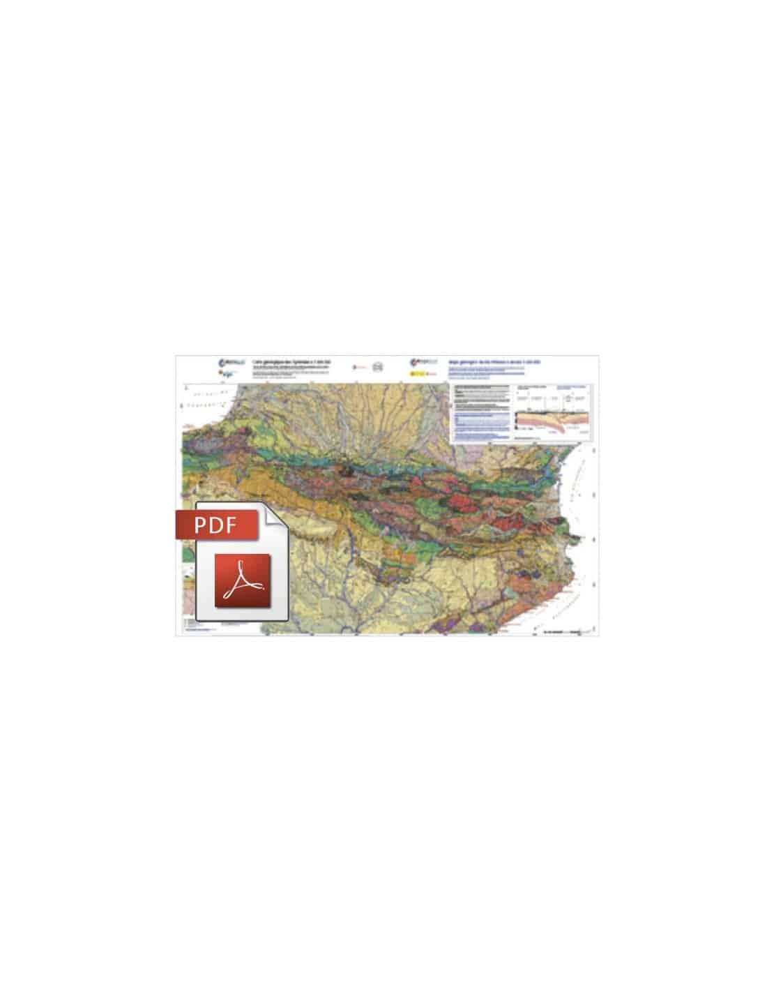
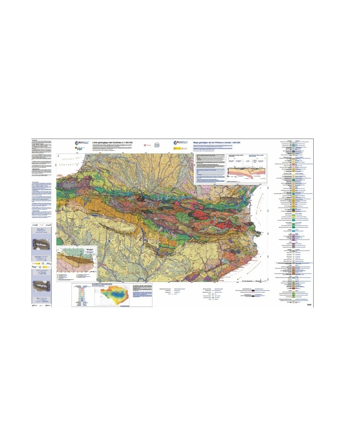
This is the first map to cover the entire Pyrenean system, thanks to close collaboration between the French and Spanish geological surveys. Underneath the geological map itself, the shading of the topographic relief produced by a digital terrain model is clearly visible. The simplified road network has been transferred to the map.
Geological map of the Pyrenees - PDF
Three inserts provide a structural diagram of the entire range, a gravity map (Bouguer anomaly) and a cross-section of the lithosphere through the central Pyrenees (ECORS project), giving an idea of the convergence that led to the collision of the Iberian and European plates.
This map is based on the 1:500,000 scale model drawn up by Yves Ternet for the 1:1,000,000 scale geological map of France (1993), with additional information provided by Thierry Baudin (BRGM) and Bernard Laumonier (Ecole Nationale Supérieure des Mines de Nancy) for the French section, and Antonio Barnolas, Inma Gil Peña and Santiago Martin-Alfageme (IGME) for the Spanish section.
Geological map of the Pyrenees - PDF